This article is submitted by my student: Saravanan Muthu, Bengaluru, India ↗
If you want to publish your articles, you can kindly contact me via email and send your article submissions (content and the resources). Once reviewed, I should accept and post the same 🤗
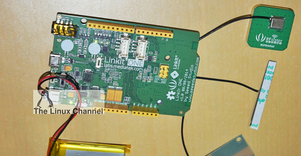
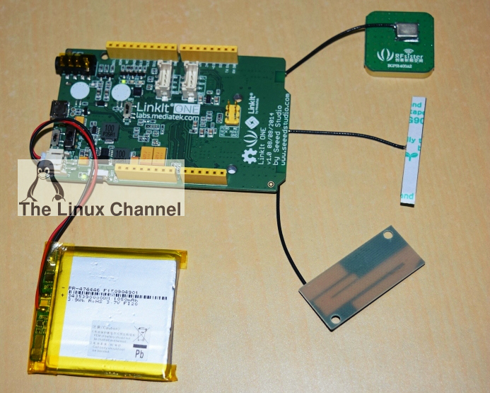
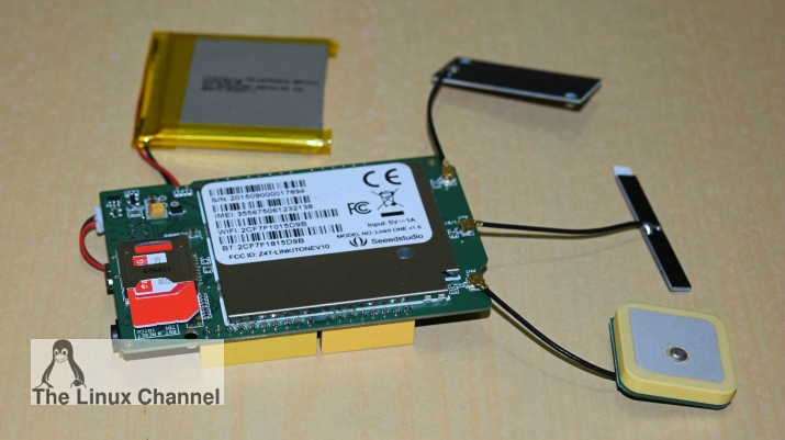
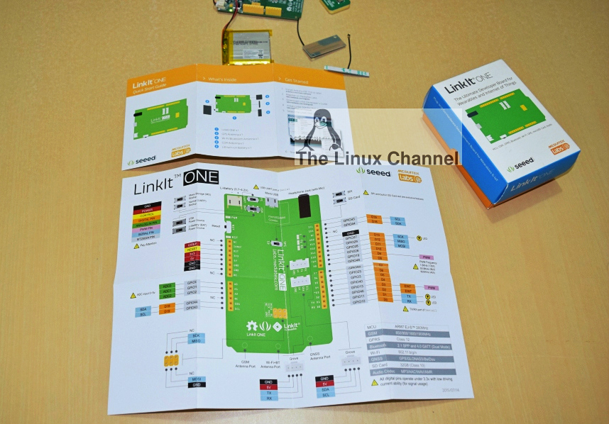
The LinkIt ONE development platform is an open source, high performance board for prototyping Wearables and IoT devices. It is based on MediaTek Aster (MT2502) combined with high performance Wi-Fi (MT5931) and GPS (MT3332) chipsets. It also provides similar pin-out features to Arduino boards, making it easy to connect various sensors, peripherals, and Arduino shields. LinkIt ONE is an all-in-one prototyping board for IoT/wearables devices. Integrating GSM, GPRS, Wi-Fi, GPS, Bluetooth features into a basic Arduino form factor.
For more details visit: Seeed Studio – LinkIt ONE ↗
Product wiki: LinkIt ONE Introduction ↗
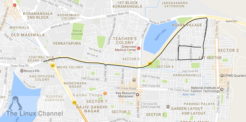
Project Introduction: This is the simple project which let you track any vehicle movement, live by using GPS coordinates to be plotted into Google maps, using Google maps api. Right now in this prototype its implemented as one single trip will be monitored and this can be further extended to store and monitor multiple trips based on requirements.
Architecture overview: There were three main entities involved in the whole process as shown below:
- LinkIt ONE board
- Cloud server (123systems, DigitalOcean, Amazon EC2, etc)
- Web browser (mobile,client computer, etc)

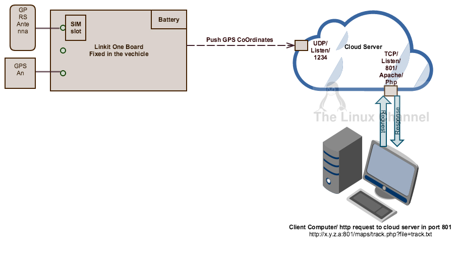
Linkit ONE Board: We have to deploy the code here which should receive GPS data as gpsSentenceInfoStruct, parse with comma separated value and upload into cloud server with predefined interval. (Ex: Udp.beginPacket(gpsReceiver, 1234);) (Fileused: gps_gprs.ino)
Cloud server:
- Receive and update data into text file: In cloud server its expected, udp server is listening in port 1234 and whenever it receives data from Linkit ONE board it just updates the received data into text file “track.txt” with newline for every entry. This is done in track_udpserver.c (Ex: 2017-1-8,7:4:39,12.924245,77.648439,902.70,0.73,-88.50,282.93,0.00,0.00,1,13)
- Exposing the data into maps as a web service: Using jquery (jquery-3.1.0.min.js) the track.txt file has to be parsed and plotted into Google maps using maps.googleapis. (This is done in track.php). And php has to be configured and run using apache web server. (Fileused: track.php, track_udpserver.c)
Web browser: This is just any web browser from client system, has to point to the web server ip address with track.php and input and track.txt as parameter to php. (Ex URL: http://x.y.z.a:801/maps/track.php?file=track.txt)
* All the mentioned code can be downloaded HERE for reference.
Kindly contact me back for any further queries.
References:
GPS datalogger with Linkit ONE ↗
Google Maps track viewer with Linkit ONE ↗